


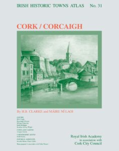
Cork/Corcaigh, Irish Historic Towns Atlas, no 31|Howard Clarke, Máire Ní Laoi|Royal Irish Academy in association with Cork City Council
Only superlatives will do for this outstanding production
by John Kirkaldy
The postman was spot on, as he handed me a large, thin parcel. ‘This looks really exciting and very interesting,’ he commented.
Only superlatives will do for this outstanding production. This is the kind of publication that makes a bookaholic purr. The new historic atlas of Cork traces the City from a monastic settlement to the present day with maps, pictures and photographs. A gazetteer of over 13,000 sites and an accompanying essay gives the detailed topographical history of the City up to about 1900.
This is the kind of publication that makes a bookaholic purr
‘The people of Cork, whom we may call Corkonians or Corkagians, regard their city as special. They are right.’ So, boldly begins 25 pages of text with 179 pages of detailed references. Even the most pernickety pedant would find it impossible to fault the scope of this scholarship.
There are references to every aspect of the City’s development, along with an occasional aside; ‘this must be one of the most compelling reasons for the town’s continued development over the centuries amid so many practical difficulties.’
Although the information is exhausting, it is also very accessible, helped by 22 subsections. For example, the reader can trace the development of every one of the City’s streets. Important aspects of life are developed, such as housing, education, administration, religion, trade, manufacturing and defence. Not forgetting the day to day, as in a guide to Cork’s history of bowling alleys and greens.
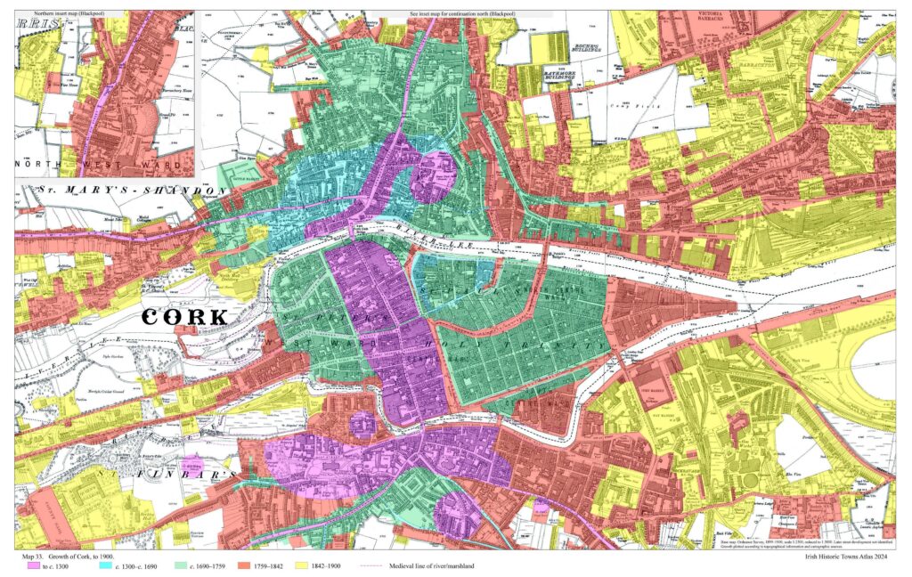
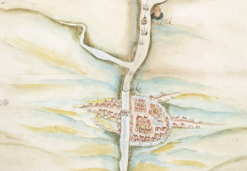
The reader will need a dining room table, as opposed to a coffee table, for examining some of the maps. Some key ones have been greatly expanded, so that even the smallest detail is accessible. There are 33 of them, ranging from medieval times to the very recent past. An overall map charts developments from about 625 to 1750. I must confess to becoming mesmerised by all of them, tracing how times had changed and what had stayed the same.
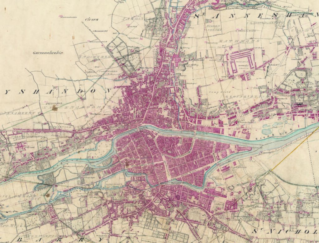
Some, like the one of Cork in 1842, are in large scale and in colour. They compare in fascinating detail, for example, with Ordnance Survey Maps on a similar scale, produced in black and white in 1926-27 and 2021. A range of medieval maps show in graphic detail how the city has expanded.
Many of the maps look at various aspects of life in Cork over the centuries, such as harbour facilities (1625), housing types and buildings (1663-4), street development (1842), reconstruction (1842), valuation (1852) and insurance (1897).
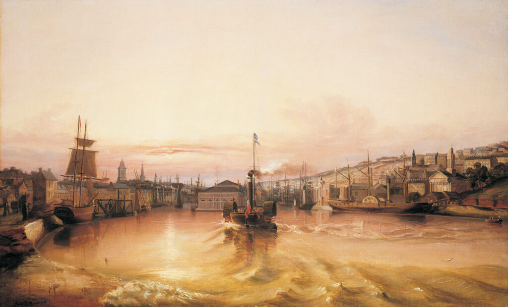
Paddle steamer entering the port of Cork’, looking west, 1842, by George Mounsey Wheatley Atkinson (Collection Crawford Art Gallery, Cork); size 61 x 100 cm (Atkinson).
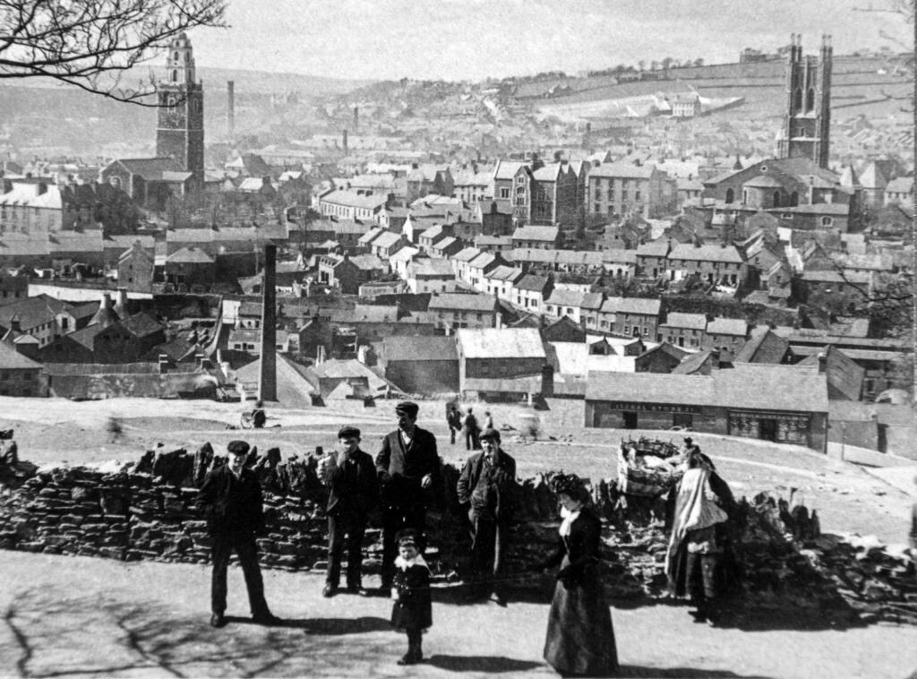
The icing on a very impressive cake is a collection of 13 photographs and illustrations. Some are in black and white and others in colour. They range from the mid-18th Century to an aerial view of the City in 2017. All of them are the kind you would like to frame.
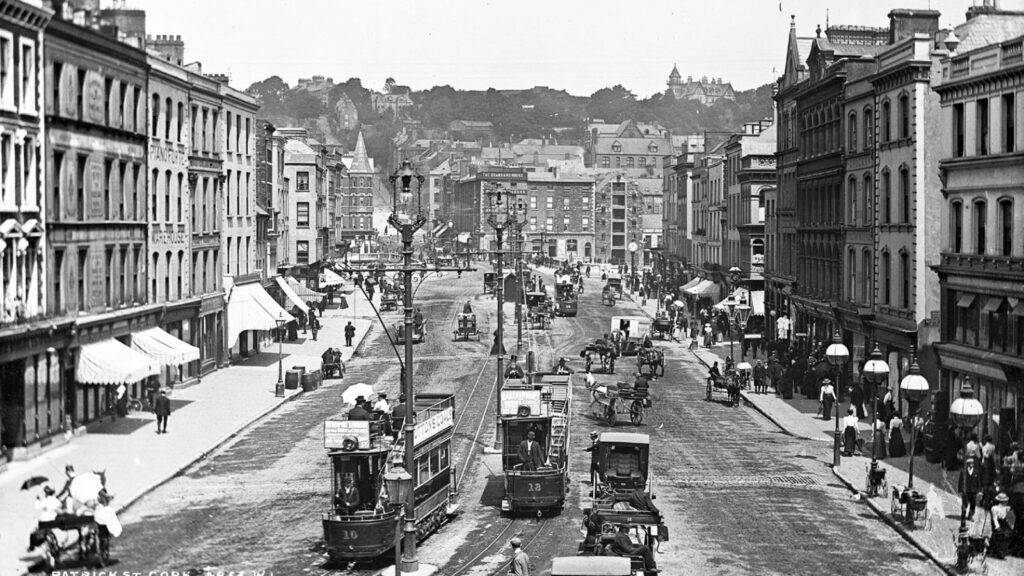
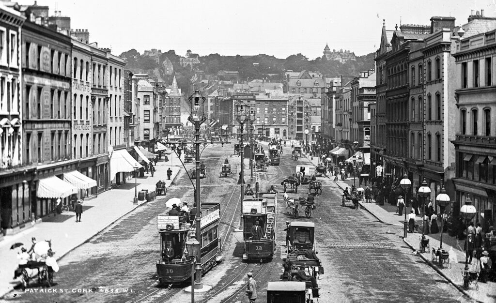
My favourites from a very competitive field are: View of Cork from Audley Place (1750); Paddle steamer entering the port of Cork (1842); a view from Richmond Hill in 1900; and St Patrick’s Street, looking north in 1900.
The Irish Historic Towns Atlas is a long-term research programme of the Royal Irish Academy. 30 atlases of Irish towns and cities, north and south, have been published since 1986. Cork will join the cities of Dublin, Belfast, Galway and Limerick, and the regional towns of Bandon and Youghal, as well as over 580 European towns and cities, produced as part of a wider international scheme.
The credits have a long list of contributors. They have done Cork and Ireland proud. This is something not just for the Library but to be treasured as an heirloom.
Cork/Corcaigh, Irish Historic Towns Atlas, no 31|Howard Clarke, Máire Ní Laoi|Royal Irish Academy in association with Cork City Council

John Kirkaldy has a PhD in Irish History, worked for many years with the Open University and has been reviewing for Books Ireland since 1980. He has contributed to three Irish history anthologies, a school textbook, and has been involved in a number of Open University History documentary series. Aged 70, six years ago, he went round the world on a much delayed gap year described in his book, I’ve Got a Metal Knee: a 70-Year Old’s Gap Year.